|
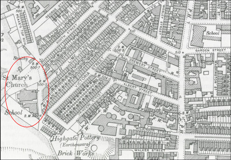
St. Mary's.—The
Parish of St. Mary, Tunstall, was formed in 1881, being
taken from the Parishes of Christ Church, Tunstall, and St.
Paul, Burslem.
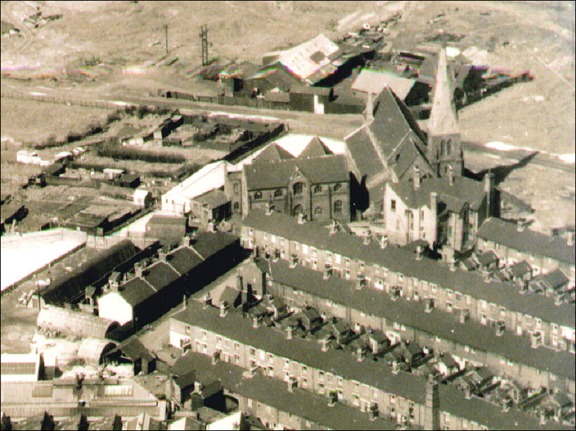
The church was
consecrated on June 14th, 1859. It is a brick building, with
chancel, nave, aisles, and a lower with spire, erected by the
Wood family as a memorial to the late Josiah Wedgwood, who died
in 1857.
A tablet to his
memory is fixed to the South wall of the chancel. The stained
East window is in memory of the late Archdeacon Hodson. In 1885
a sum of over £700 was spent in painting and decorating the
church, and a new oak panelled ceiling, as well as oak choir
stalls, pulpit. and lectern were placed in the church.
A new vestry
was also built, and wood block paving; was introduced throughout
the church. The living is a vicarage, in the gift of the Bishop
of Lichfield, and is of the yearly value of £280, with a house,
built in 1884.
The present
Vicar is the Rev. George Castriot de Renzi, M.A. (Trinity
College. Cambridge), St. Mary's Vicarage, 81, Lime-street. He
has held the living since 1898.
Curate, The
Rev. Wm. Williams, Hinckley House, Devonport-street. Tunstall.
Church- wardens, Job Gould, George Proctor. Organist and
Choirmaster, Walter L. Wilks, Windmill-street, Tunstall. Verger,
J. Jenks, 84, Victoria-street.
Value of
Living, £280 and a house—£200 from Ecclesiastical
Commissioners, £28 from endowment, £37 from fee-, and £15
from pew rents.
Sittings, 650:
one half of the church is entirely free, about 100 seats in the
other half of the church being rented.
Services—Sundays,
8 a.m., 9 30 a.m., 10 45 a.m., and 6 30 p.m.; Daily Matins 8
a.m.. Evensong 7 30 p.m. : Holy Communion Sundays at 8 a.m. and
9 30 a.m., Wednesdays and Holy Days at 7 a.m. The church is open
for private prayer from 8 a.m. till after Evensong.
Hymn Book used,
Hymns Ancient and Modern, old complete edition.
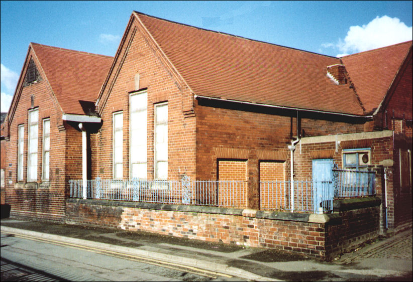
Sunday and Day
Schools, St. Mary's-street. built in 1859, accommodation
595.
Missions,
Ravensdale Mission, Plex-street Mission.
Other
Organisations in Connection with the Church are—St. Mary's
Institute, Victoria terrace; St. Mary's Workmen's Club,
Victoria-terrace; Bible Class for Men at the Institute every
Sunday, at 2 15, conducted by the Clergy; Bible Class for Young
Womenen the Parish Room, at the Vicarage, every Sunday, at 2 30.
from.....
1907 Staffordshire Sentinel 'Business Reference Guide to The
Potteries, Newcastle & District' |