|
|
|
|
|
|
Ken Cubley's photos of Stoke-on-Trent
|
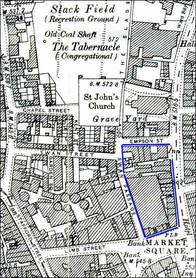
Hanley, Stoke-on-Trent |
![]()
|
|
|
|
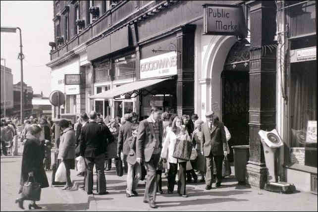
closer view of Hanley Indoor Market, photo taken when the market was open
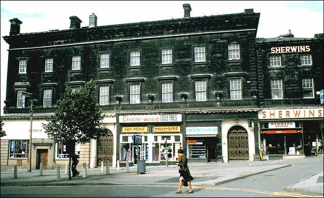
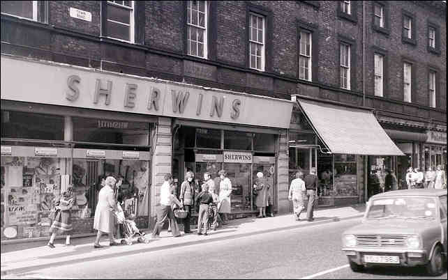
view from Town Road - Sherwins was a popular music store
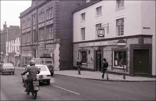
The Sea Lion pub - looking down Town Road
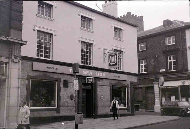
The Sea Lion pub on the corner of Town Road and Empson Street
The square tower of St. John's church (see map) can be seen behind the buildings
on St. Johns Church
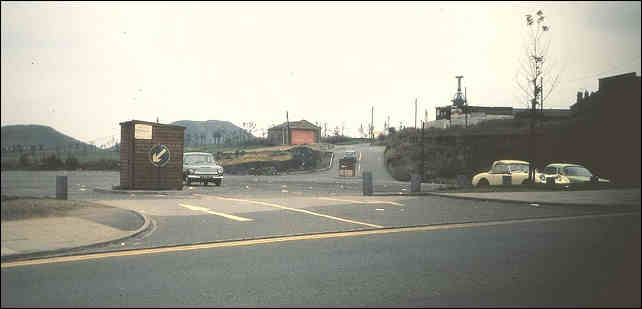
Bryant Street car park - one the location of Port Vale football club
in the background can be seen the winding gear and the spoil heaps of Hanley Deep Pit
this area is the multi-story car park for the Potteries Shopping Centre and the colliery area is
Central Forest Park
photos © 2007 - Ken Cubley