|
|
|
|
|
|
Ken Cubley's photos of Stoke-on-Trent
|
Hanley, Stoke-on-Trent |
![]()
|
|
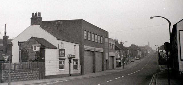
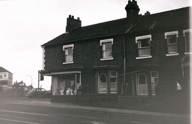
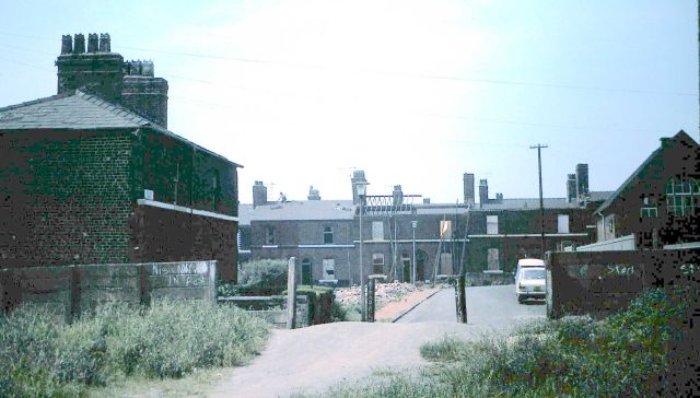
Vale Place, bottom of Waterloo Road
photograph looking up towards the Cobridge traffic lights at the top of Waterloo Road.the Railway Inn is on the left (now demolished), the wall and railings behind the Give Way sign is bridge where the loop line went under Waterloo Road.
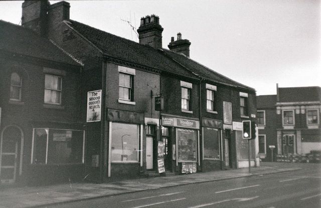
Top of the Hanley side of Waterloo Road
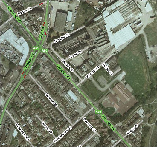
Left hand side of the road at the Cobridge traffic lights the left turn is into Cobridge Road (was Etruria Road)
This was Cobridge lights before the junction was widened....shops on the left were a newsagents, launderette and maybe a bookies?
Top of the Hanley side of Waterloo Road
Right hand side of the road at the Cobridge traffic lights the left turn is into Elder Road - the immediate turn is now Douglas Street.
On this side was a drapers shop (Austin's ?) number 317
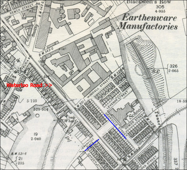
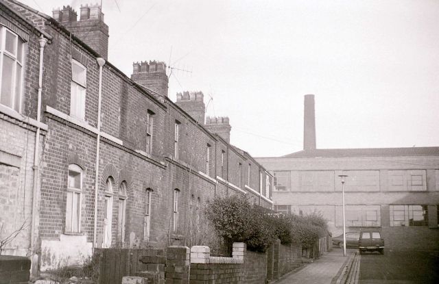
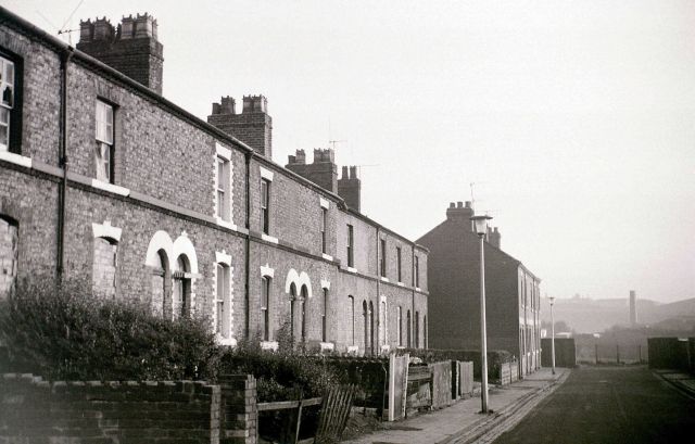
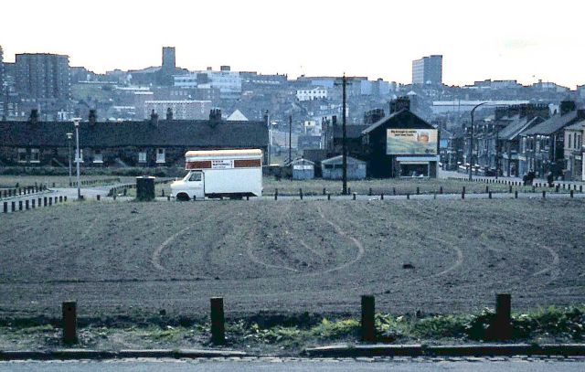
Top of Granville Street - looking towards the old Myott factory
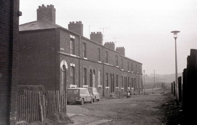
Bottom of Granville Street - the houses opposite Gower & Copland Street
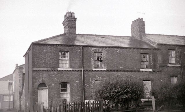
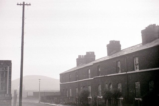
Leveson Street (on old map) became Holder Street
and was off the top of Granville St (below Woodhall Street)
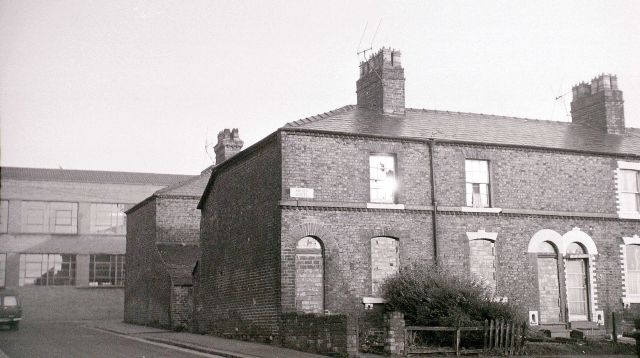
another view of Holder Street
|
|
|
|
photos © 2007 - Ken Cubley
also see Alan Chell's photos of this area