| Stoke-upon-Trent -
Local History |
| Stoke-upon-Trent - Local History |
Turnpike and Packhorse Roads in North Staffordshire
![]()
|
Packhorses were heavily used in
the transport of goods in England in the period up until the coming
of the first turnpike roads and canals in the 18th century. Away
from main routes, their use persisted into the 19th century.
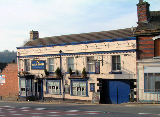
This usage has left a history of old paths across wilderness areas called packhorse roads, and distinctive narrow and low sided stone arched packhorse bridges at various locations. For similar reasons, names such as The Packhorse are common public house names throughout England
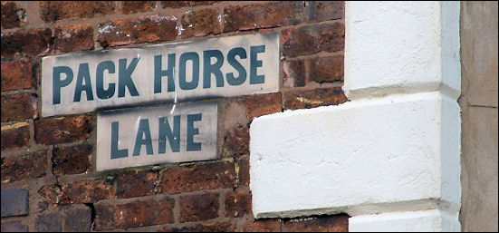
The packhorse lanes through Burslem: "One of the main pack-horse roads, which left Hanley by Woodisun (Marsh Street), Brook Street (off Marsh Street North), connected with the lane from Newcastle and wound through Cobridge and the lower end of Hot Lane, Burslem, where it branched; one route going approximately via the present Nile Street, Burslem, and the other, a narrow lane behind, and to the west of what is now Waterloo Road, but which was then a portion of the adjacent fields.
From Burslem, the Mother Town of the Potteries, an important pack-horse road ran from the Market Square, as already mentioned, via Pack-Horse Lane, winding by St. Paul's Church, Dalehall, via Trubshaw Cross, fording the stream at Longbridge (Longport), by the present road past a group of houses called Longbridge Hayes. From thence it went round the Bradwell side of what is now Longport Station and up the hill, now traversed by the road (made about 1875) and so on to Wolstanton and Newcastle." A Sociological History of Stoke-on-Trent, E J D Warrillow
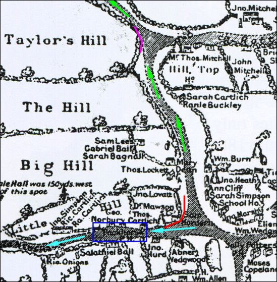
The green arrows show Hill Street (later Liverpool Road and now Westport Road) which led through Church Lawton to Winsford and then to Liverpool. The purple line indicates the frontage of the Hill Works of Wades potteries. |
![]()
![]()
questions / comments / contributions? email: Steve Birks
April 2008