|
|
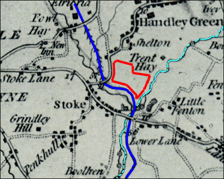
| Stoke-on-Trent Districts: Howard Place, Snow Hill |
![]()
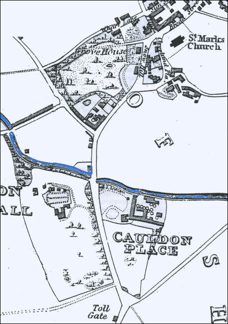
next: the Toll Gate and Hanley
Cemetery
|
Howard Place and Snow Hill, Shelton, Stoke-on-Trent, Staffordshire.
Walking along Stoke Road to Snow Hill The short walk along Stoke Road from the Winton pottery buildings to Snow Hill reveals buildings and features which demonstrate the key history of the area. The Ridgway family owned a large portion of the land in this area and as a large pottery manufacturer, estate owner and John Ridgway being the first mayor of Hanley Borough they put their mark on Stoke Road, Shelton.
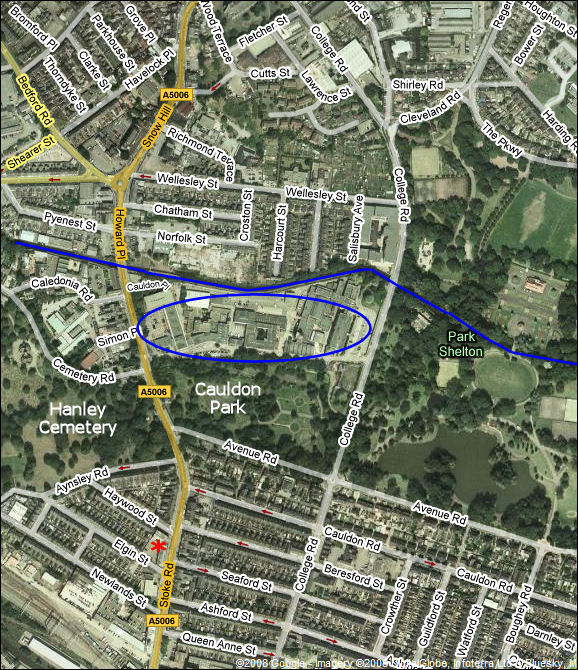
The red * locates the Toll Gate house,
blue oval is the site of the College (previously Cauldon Place Pottery),
blue line across the centre is the Caldon Canal.
|
questions / comments / contributions? email: Steve Birks
10 January 2008