Streets of Stoke-on-Trent | Etruria Road |
Etruria Road, Hanley,
Stoke-on-Trent
![]()
Streets of Stoke-on-Trent | Etruria
Road |
![]()
![]()
| Index of all Hanley Streets |
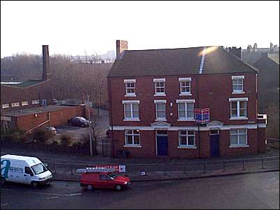
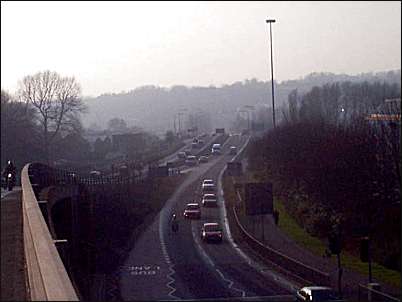
Etruria Road, Hanley, Stoke-on-Trent
On the 1898 OS map the section of the road from the bottom of Cobridge Road to Etruria railway station was named 'Lord Street'. In the early 1950's this section was renamed Etruria Road.
|
Take
a 'walking tour' of this area
|
photos: Jan. 2001
![]()
![]()
![]()
![]()
Did you live in this street or
area?
questions/comments/contributions?
email: Steve Birks