Waterways of Stoke-on-Trent - Burslem
Branch Canal
![]()
![]()
![]()
![]()
![]()
previous: aerial photo and
map of the canal area
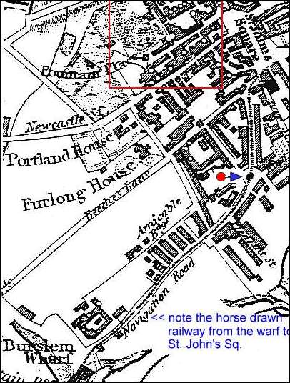
1832 map showing the railway running along
Navigation Road
from the Burslem canal wharf to St. John Square.
Enoch Woods factory is shown in red, the
photos here are taken from where the arrow is.
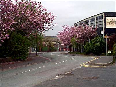
Looking down Navigation road towards the Wharf
![]()
![]()
previous: aerial photo and
map of the canal area