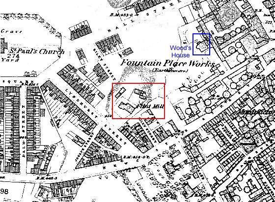
 1878 Ordnance Survey Map
Behind the walls
of the Fountain Place Works was an extensive private garden attached to the mansion house occupied by
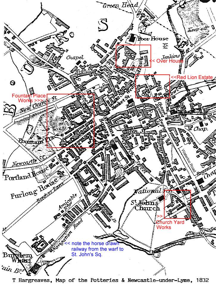
Enoch Wood (see 1832 map). Below the walls stood the
firm's flint mill embellished with arched windows and embattled gables looking
more like a church than an industrial building. The mill was demolished in
c.1880.
Its former
location, by Lyndhurst Street, is shown on the extract from the 1878 Ordnance
Survey map.
