Hulton Abbey to Ruston
Grange
Birches Head Road
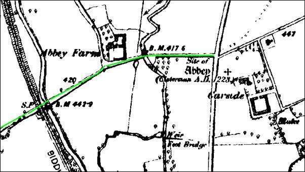
1890 map showing site of
Abbey
The map shows the site of
the
Cistercian Abbey and gives
the sate "AD 1223" which was the date of consecration.
The present day Birches Head
Road is marked in green, the River Trent, Abbey Farm, the Caldon Canal and
the Biddulph Valley Branch mineral railway line can all be seen.
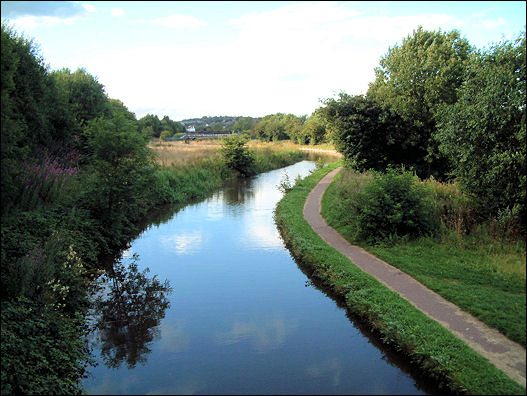
River
Trent
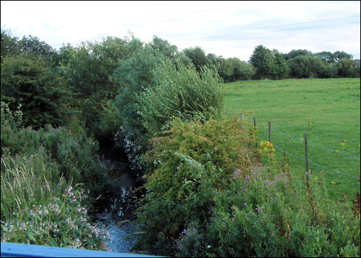
River Trent as it passes
under Birches Head Road
The River Trent rises at
Biddulph Moor and enters the City at Norton Green. Although the River
Trent gave the City its name, it is often hidden away behind buildings or
encased in concrete and is largely unseen in many areas of Stoke-on-Trent.
However in several places, like this stretch between Birches Head Road and
Cromer Road, the river and the surrounding landscapes provide key wildlife
habitats...
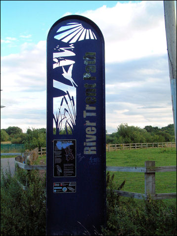
'River Trent Path' marker
Stonework from the
abbey used in Abbey
Farm
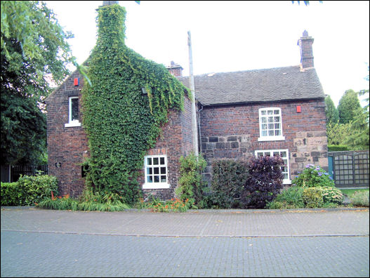
Abbey Farm
House on Birches Head Road
This farmhouse on Birches Head Road is largely early 19th Century in its present form, but
it incorporates several earlier phases of building.
The rear
wing incorporates substantial remains of masonry structure, showing clear
evidence of earlier walling and chimney in coursed and squared rubble.
This stone work is said to have come from
the nearby Hulton Abbey.
Caldon Canal
the Caldon
Canal from Birches Head Road
The Caldon Canal opened in
1779, runs 18 miles from Etruria, in Stoke-on-Trent where it leaves the
Trent and Mersey Canal at the summit level, to Froghall, Staffordshire.
It was built to carry limestone from Caldon Low Quarries.
A number of pottery
companies were located on it in order to take advantage of the connection
with the Trent & Mersey Canal and route to Liverpool Dock.
Although the canal was never
legally closed, by the 1960s it was almost unusable. In one of the UK's
first major canal restoration projects, the canal was restored between
1970 and 1974.
Biddulph
Valley Branch mineral railway line
For over 100 years trains
travelled along the Biddulph Valley Way carrying coal from the Potteries
to Congleton.
April 1 1968 the last train
to leave Brunswick Wharf to Stoke.
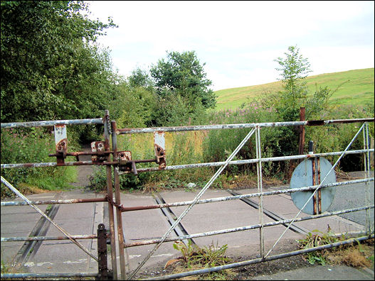
the remains of the
railway track (2008) as it crosses Birches Head Road
the main track has been taken up and the cottage demolished
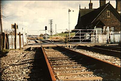
the same railway crossing
and crossing mans' cottage in 1986
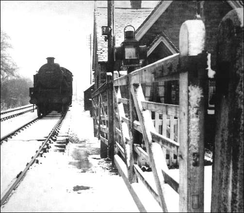
Snow on the ground of the
mineral railway line crossing Birches Head Road, c.1953
The other end of the present
Birches Head Road is marked as ""Horse Lane" on this 1890 map. Apart from
Birches Head Farm (now demolished) there are no other houses. The whole
area is peppered with coal and air shafts.
A "rifle range" can be seen
and this was located where the water reservoir between Birches Head and
Sneyd Green is now to be found.
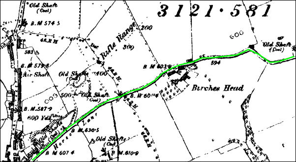
1890 map of Birches Head
By the time of the 1898's
"Horse Lane" had been renamed "Leonard Road" and there were terrace houses
laid out - although there is still a large area called "Clayholes Pit"
where coal shafts existed.
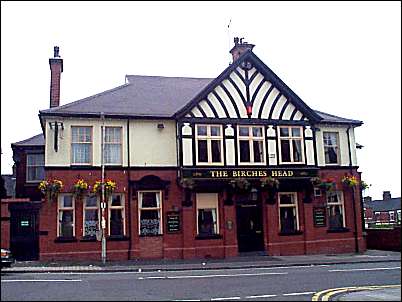
Birches Head Hotel
on Birches Head Road
Birches Head Hotel
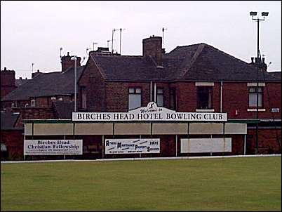
Bowling Green
  
next: Sneyd Street
previous: trackway to Ruston
|