|
Queens Gardens -
the development of the area
A 1818 directory of
Staffordshire list the new names given to the streets on the Marsh
Estate: Queen Street, King Street, Bruswick Street, Hanover Street
and Nelson Place.
These names reflect
the occupier of the throne, George III (r.1760-1820) - he was an
Hanoverian.
Marsh Street (now
Merrial Street) and Marsh Parade reflected the origin of the area as
marshland.
Glebe Land...
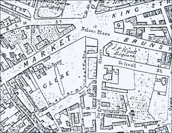
Wood's plan of
Newcastle-under-Lyme - 1838
The 1838 map show the
area now occupied by the Queens Gardens as Glebe land, it has trees
planted around two sides and the small lake is still in existence.
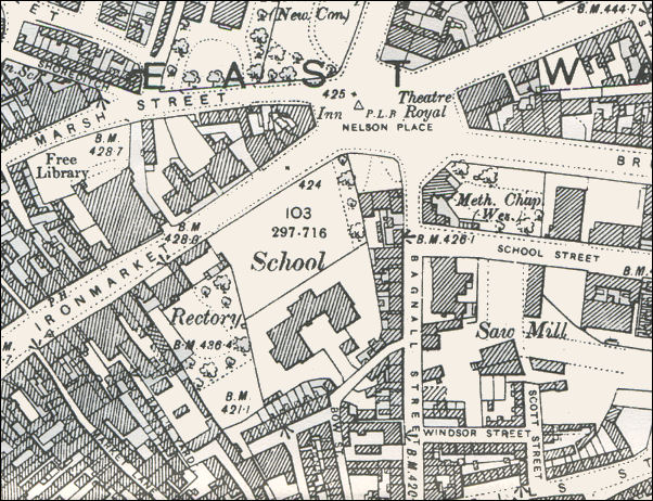
1898 OS map
This 1898 map shows
the area just before the gardens were laid out in 1899. At one end
is the rectory for St. George's Church. The school shown is St.
Giles' and St. George's School.
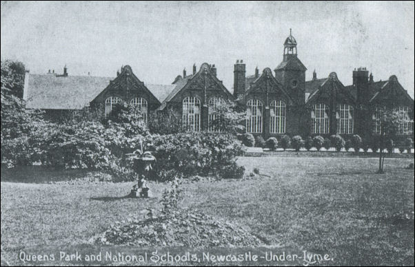
Postcard - "Queens Park and National
Schools, Newcastle-under-Lyme" c.1915
This postcard looks
across "Queens Park" - now called Queens Gardens to the National
School (which became St. Giles' and St. George's School).

|