![]()
![]()
Cobridge: A Victorian Suburb

|
|
|
| A
photo walk around Cobridge, Stoke-on-Trent Cobridge: A Victorian Suburb |
|
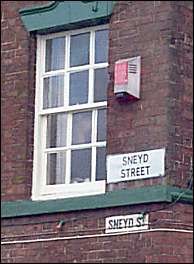
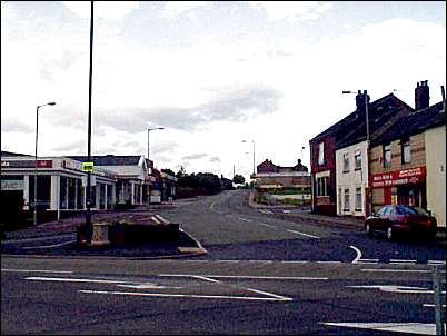
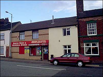
Sneyd Street
location 1 on the map |tour map|
![]()
![]()
![]()
next: Cobridge School
previous: Index Page for this walk
|
Sneyd Street appears on the
1775 William Yates map of Staffordshire. In the 1680s there
were only three or four small houses at Cobridge but by the mid 1770s a
distinct settlement had come into existence in the vicinity of the cross
road formed by Sneyd Street, Grange Street and Elder Road.
|
![]()
![]()
![]()
next: Cobridge School
previous: Index Page for this walk
![]()
06/12/2001