Waterways of Stoke-on-Trent - Burslem
Branch Canal
![]()
![]()
![]()
| Burslem Branch
Canal Index |
![]()
![]()
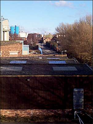
more photos of the canal area
|
photos: Jan 2001
|
![]()
![]()
more photos of the canal area
| Burslem Branch Canal Index | aerial photo and map of the canal area |