Streets of Stoke-on-Trent | High Lane |
High Lane, Burslem,
Stoke-on-Trent
![]()
Streets of Stoke-on-Trent | High
Lane |
![]()
![]()
| Index of all Burslem Streets |
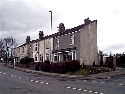
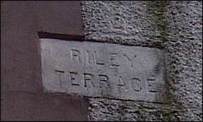
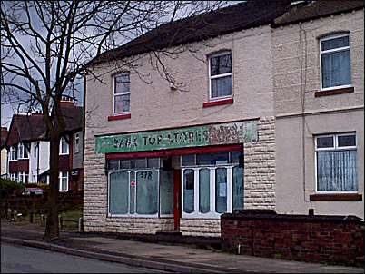
High Lane, Burslem, Stoke-on-Trent
![]()
more pictures on High Lane
|
High Lane is part of the main thoroughfare from Hanley to Chell, it runs from Smallthorne roundabout and joins Chell Heath Road. It forms part of the district of Bank Top. High Lane gets its name from its location and Greenbank Road running to Tunstall and Hamil Road running to Burslem show the high position of High Lane. High Lane and Hamil Road were the only named roads on the 1890 OS map when this area was dominated by fields and collieries. High Lane was part of the old Hamlet of Sneyd. | more
on Bank Top |
|
photos: Feb. 2001
![]()
more pictures on High Lane
![]()
![]()
![]()
Did you live in this street or
area?
questions/comments/contributions?
email: Steve Birks